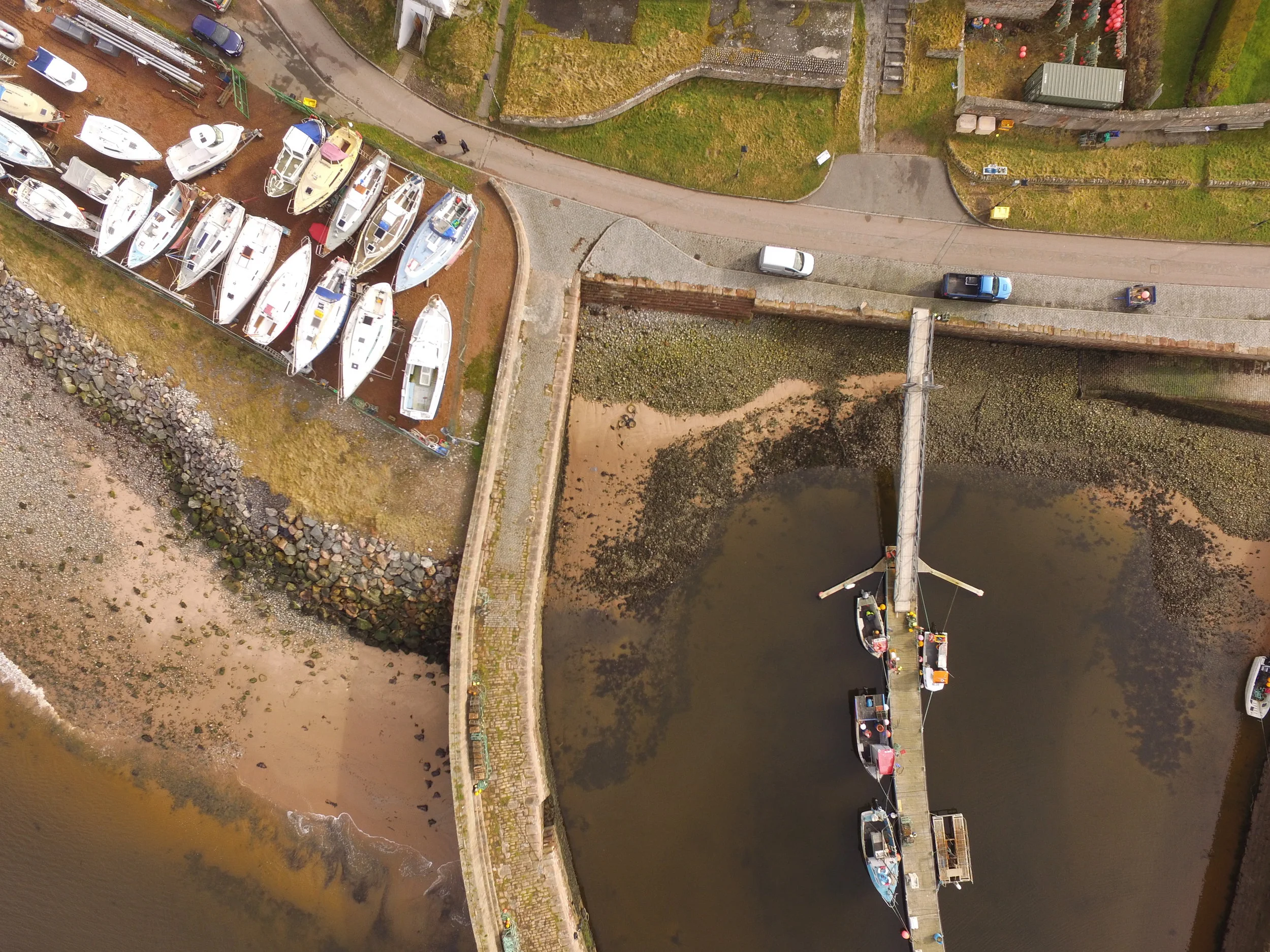
As a CAA certified UAV operator, Tracks Ecology has assisted the Cromarty Harbour Trust to obtain a detailed record of the 300 year old harbour. During March 2017, Tracks Ecology undertook a series of UAV flights to obtain both nadir and oblique imagery of the harbour at Cromarty on the Black Isle near Inverness. The brief of the project was to record a detailed picture of the harbour as it stands for use as a record prior to future renovations/repairs and as an educational and tourist information tool. Over 580 images of the harbour was obtained during a low spring tide with the addition of some images of the harbours setting on the Cromarty Firth. The resulting orthomosaic provides a detailed photographic record and combined with the 3D model provide a valuable resource to the Trust and Cromarty residents. Tracks Ecology used the DJI Phantom 3 Professional platform for the flight, with photogrammetry processing and point cloud editing undertaken within Pix4D.
If Tracks Ecology can assist with any aerial survey work from habitat mapping to 3D model creation, please do not hesitate to get in contact.